

Equity-Indicators-Parking

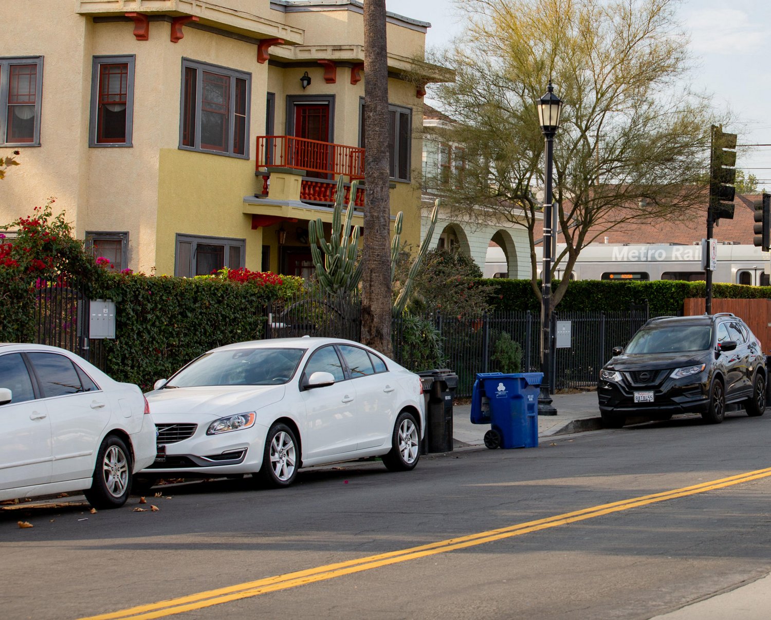
In the context of land use and transportation planning, parking refers to the strategic development and deployment of parking spaces. Parking facilities and requirements are complex and location-specific. For example, enhanced parking near transit stations can support the use of public transportation and support community member access to retail, recreation, education and health services. However, parking increases can also worsen traffic congestion and local air quality, decrease a community’s walkability, displace community resources and result in increased impervious surfaces. Parking impacts further vary depending on parking space structure and fee model, which influence how people move and use these facilities.

Understand Your Datasets

Use a public parking locator to identify nearby public parking lots. Parking habits and needs are influenced by local employment patterns and the locations of nearby schools and critical services such as hospitals and grocery stores. Seek additional data sources to better understand local parking behaviors, locations, pressure points and priorities. Note how parking lots can also contribute to negative environmental impacts, with their impervious materials leading to poorer water quality, increased risks of flash flooding and hotter temperatures due to amplified urban heat island effects.

Example Dataset:


Parking in LA:
https://parkinginla.lacity.org/

Instructions: Use public parking locator to determine available parking lots. Additional private parking lots may also be in the area. Private lots could be identified through additional web searches in the specific area of interest.

Data Considerations: Mapping is maintained by the Los Angeles Department of Transportation.


Community Demographics Profiles Alignment

Transportation Mode by Race/Ethnicity
Travel Time to Work by Transportation Mode
Households with no Access to a Vehicle

Explore the Index of Indicators in Metro’s Community Demographics Profiles Dashboard here.

Coordinate-with-community-members
Coordinate with Community Members

Seek input from community members to assess whether parking structure development would be necessary, feasible and/or harmful according to their priorities and needs. Gather local perspectives by implementing Metro’s CBO partnering strategy and organizing a series of public meetings and/or distributing a broader impact survey. Understand strategic touchpoints where enhanced parking may encourage public transportation use by surveying how parking availability and location varies within your project community. If applicable, consider implementing a construction management plan informed by stakeholder engagement to minimize or eliminate temporary construction-related inconveniences related to parking and include a robust feedback mechanism, performance monitoring and reporting for these impacts.

< go back to Use Data and Indicators page

Questions about this page’s vocabulary terms? Go to the Know the Vocabulary page

Wondering about relevant policies? Go to the Review the Relevant Policies page

Looking for engagement techniques? Go to the Engage Stakeholders page

Related Equity Indicators

Equity-Indicators-Accessibility

Accessibility

Suggested Baseline Indicator: Accessible transit provides safe mobility options for customers of varying priorities and abilities.

Read More